
Hanover topographic map
Interactive map
Click on the map to display elevation.
About this map
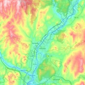
Name: Hanover topographic map, elevation, terrain.
Location: Hanover, Grafton County, New Hampshire, USA (43.65859 -72.30512 43.77102 -72.07569)
Average elevation: 272 m
Minimum elevation: 97 m
Maximum elevation: 559 m