
St Andrews topographic map
Interactive map
Click on the map to display elevation.
About this map
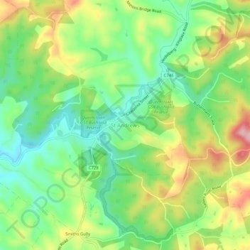
Name: St Andrews topographic map, elevation, terrain.
Location: St Andrews, Shire of Nillumbik, Victoria, 3760, Australia (-37.62272 145.25287 -37.58272 145.29287)
Average elevation: 189 m
Minimum elevation: 117 m
Maximum elevation: 295 m