
Panton Hill topographic map
Interactive map
Click on the map to display elevation.
About this map
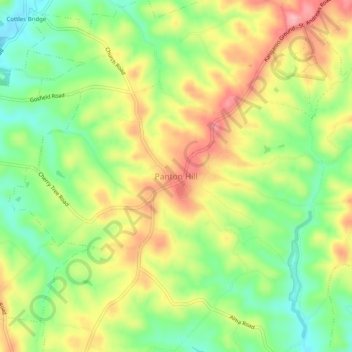
Name: Panton Hill topographic map, elevation, terrain.
Location: Panton Hill, Shire of Nillumbik, Victoria, 3759, Australia (-37.66136 145.21904 -37.62136 145.25904)
Average elevation: 150 m
Minimum elevation: 86 m
Maximum elevation: 222 m
Victoria trails, hiking, mountain biking, running and outdoor activities
Other topographic maps
Click on a map to view its topography, its elevation and its terrain.