Geolocate

Bullsbrook topographic map

Click on the map to display elevation.

About this map
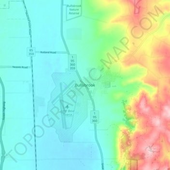
Name: Bullsbrook topographic map, elevation, terrain.

Location: Bullsbrook, Joondalup, Western Australia, 6084, Australia (-31.70374 115.98727 -31.62374 116.06727)

Average elevation: 85 m

Minimum elevation: 24 m

Maximum elevation: 252 m

Western Australia trails, hiking, mountain biking, running and outdoor activities

Gear up for your next adventure:

🛰️Handheld GPS Units - Rugged GPS devices for tracking coordinates and elevation in the Australian bush
🩹Blister Prevention Tape - Apply to friction points before they become painful sores
🧤Thermal Hiking Gloves - Keep your hands warm and functional during high-altitude winter treks
🧥Thermal Emergency Blankets - Compact Mylar blankets to prevent hypothermia if stranded overnight
📚Map Reading & Navigation Guides - Master the art of interpreting topographic contours and symbols

As an Amazon Associate, this site earns from qualifying purchases at no extra cost to you.