
Beerwah topographic map
Interactive map
Click on the map to display elevation.
About this map
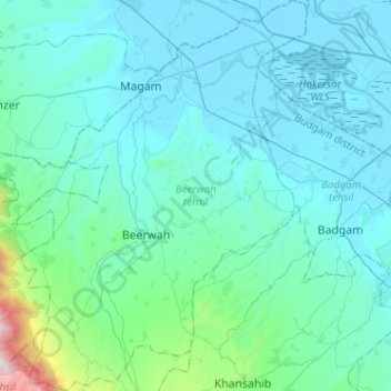
Name: Beerwah topographic map, elevation, terrain.
Location: Beerwah, Budgam District, Jammu and Kashmir, India (33.92812 74.50717 34.13953 74.70484)
Average elevation: 1,785 m
Minimum elevation: 1,580 m
Maximum elevation: 3,563 m