
Tallong topographic map
Interactive map
Click on the map to display elevation.
About this map
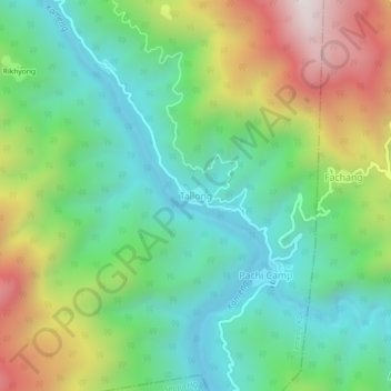
Name: Tallong topographic map, elevation, terrain.
Location: Tallong, Bameng ADC, East Kameng, Arunachal Pradesh, India (27.46901 93.00291 27.50901 93.04291)
Average elevation: 773 m
Minimum elevation: 408 m
Maximum elevation: 1,483 m