
Kushalanagara topographic map
Interactive map
Click on the map to display elevation.
About this map
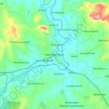
Name: Kushalanagara topographic map, elevation, terrain.
Average elevation: 854 m
Minimum elevation: 815 m
Maximum elevation: 981 m
Kushalanagar is located at 12°28′N 75°58′E / 12.47°N 75.97°E / 12.47; 75.97. It has an average elevation of 844 metres (2726 feet).