
Mount Egerton topographic map
Interactive map
Click on the map to display elevation.
About this map
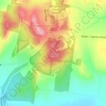
Name: Mount Egerton topographic map, elevation, terrain.
Location: Mount Egerton, Shire of Moorabool, Victoria, Australia (-37.63554 144.10674 -37.63544 144.10684)
Average elevation: 546 m
Minimum elevation: 480 m
Maximum elevation: 626 m