
Mount Lindsay Rotary Park topographic map
Interactive map
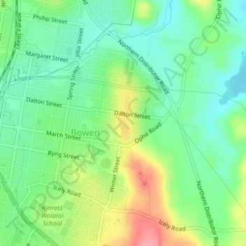
Click on the map to display elevation.
About this map
Name: Mount Lindsay Rotary Park topographic map, elevation, terrain.
Average elevation: 873 m
Minimum elevation: 838 m
Maximum elevation: 935 m
Other topographic maps
Click on a map to view its topography, its elevation and its terrain.
Cook Park
Australia > New South Wales > Orange
Cook Park, Calare, Orange, Orange City Council, New South Wales, 2800, Australia
Average elevation: 877 m