
Desert topographic map
Interactive map
Click on the map to display elevation.
About this map
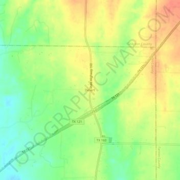
Name: Desert topographic map, elevation, terrain.
Location: Desert, Collin County, Texas, United States (33.36836 -96.42210 33.40836 -96.38210)
Average elevation: 206 m
Minimum elevation: 179 m
Maximum elevation: 231 m