
Ouled Khellouf topographic map
Interactive map
Click on the map to display elevation.
About this map
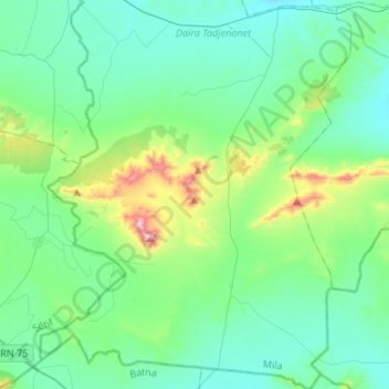
Name: Ouled Khellouf topographic map, elevation, terrain.
Location: Ouled Khellouf, Tadjenanet District, Mila, Algeria (35.87623 6.00065 36.09326 6.18178)
Average elevation: 918 m
Minimum elevation: 789 m
Maximum elevation: 1,391 m