
South Preston topographic map
Interactive map
Click on the map to display elevation.
About this map
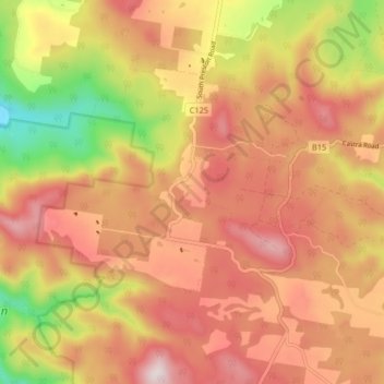
Name: South Preston topographic map, elevation, terrain.
Location: South Preston, Central Coast, Tasmania, Australia (-41.36580 145.99430 -41.32602 146.07597)
Average elevation: 436 m
Minimum elevation: 94 m
Maximum elevation: 672 m