
Brooks Bay topographic map
Interactive map
Click on the map to display elevation.
About this map
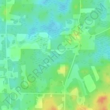
Name: Brooks Bay topographic map, elevation, terrain.
Location: Brooks Bay, Washington County, Florida, 32463, United States (30.65486 -85.62192 30.65496 -85.62182)
Average elevation: 24 m
Minimum elevation: 10 m
Maximum elevation: 49 m