
Briscoe topographic map
Interactive map
Click on the map to display elevation.
About this map
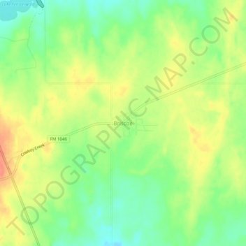
Name: Briscoe topographic map, elevation, terrain.
Location: Briscoe, Wheeler County, Texas, 97069, United States (35.56380 -100.30776 35.60380 -100.26776)
Average elevation: 806 m
Minimum elevation: 782 m
Maximum elevation: 829 m