
Manhatten topographic map
Interactive map
Click on the map to display elevation.
About this map
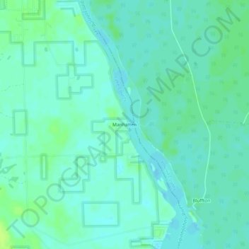
Name: Manhatten topographic map, elevation, terrain.
Location: Manhatten, Lake County, Florida, 32102, United States (29.11859 -81.53590 29.15859 -81.49590)
Average elevation: 7 m
Minimum elevation: 2 m
Maximum elevation: 14 m