
Jenolan topographic map
Interactive map
Click on the map to display elevation.
About this map
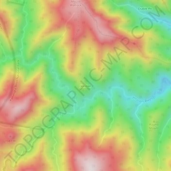
Name: Jenolan topographic map, elevation, terrain.
Location: Jenolan, Oberon Council, New South Wales, Australia (-33.83639 150.04777 -33.79639 150.08777)
Average elevation: 806 m
Minimum elevation: 475 m
Maximum elevation: 1,155 m