
Bundarra topographic map
Interactive map
Click on the map to display elevation.
About this map
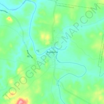
Name: Bundarra topographic map, elevation, terrain.
Location: Bundarra, Uralla Shire Council, New South Wales, Australia (-30.20976 151.03394 -30.12976 151.11394)
Average elevation: 671 m
Minimum elevation: 638 m
Maximum elevation: 768 m
New South Wales trails, hiking, mountain biking, running and outdoor activities
Other topographic maps
Click on a map to view its topography, its elevation and its terrain.