
Gingkin topographic map
Interactive map
Click on the map to display elevation.
About this map
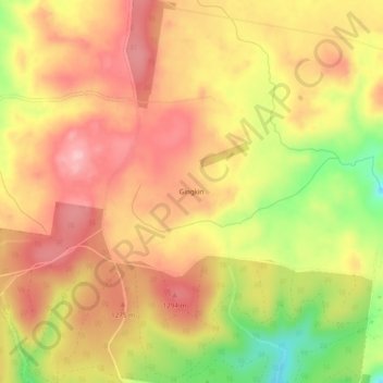
Name: Gingkin topographic map, elevation, terrain.
Location: Gingkin, Oberon Council, New South Wales, Australia (-33.91833 149.91444 -33.87833 149.95444)
Average elevation: 1,237 m
Minimum elevation: 1,129 m
Maximum elevation: 1,305 m