
Romsey topographic map
Interactive map
Click on the map to display elevation.
About this map
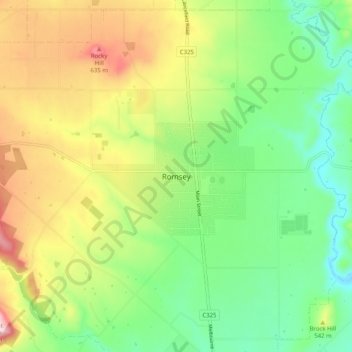
Name: Romsey topographic map, elevation, terrain.
Location: Romsey, Shire of Macedon Ranges, Victoria, 3434, Australia (-37.39188 144.69745 -37.31188 144.77745)
Average elevation: 506 m
Minimum elevation: 393 m
Maximum elevation: 680 m
Victoria trails, hiking, mountain biking, running and outdoor activities