
St Marys topographic map
Interactive map
Click on the map to display elevation.
About this map
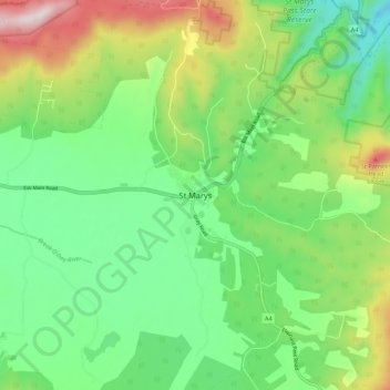
Name: St Marys topographic map, elevation, terrain.
Location: St Marys, Tasmania, Australia (-41.61980 148.14623 -41.53980 148.22623)
Average elevation: 324 m
Minimum elevation: 97 m
Maximum elevation: 779 m
Other topographic maps
Click on a map to view its topography, its elevation and its terrain.