
Walhalla topographic map
Interactive map
Click on the map to display elevation.
About this map
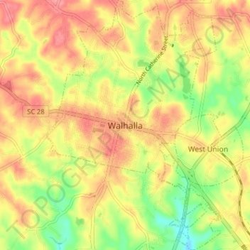
Name: Walhalla topographic map, elevation, terrain.
Location: Walhalla, Oconee County, South Carolina, 29691, USA (34.73879 -83.08411 34.79104 -83.03947)
Average elevation: 296 m
Minimum elevation: 249 m
Maximum elevation: 330 m