
Dandenong Ranges National Park - Ferntree Gully topographic map
Interactive map
Click on the map to display elevation.
Dandenong Ranges National Park - Ferntree Gully
The topography consists of a series of ridges dissected by deeply cut streams. Sheltered gullies in the south of the range are home to temperate rain forest, fern gullies and Mountain Ash forest Eucalyptus regnans, whereas the drier ridges and exposed northern slopes are covered by dry sclerophyll forest of stringybarks and box. The entire range is highly prone to bushfires, the most recent of which have been the 1983 Ash Wednesday bushfires, the 1997 Dandenong Ranges bushfires and small fires during the Black Saturday bushfires in 2009.
About this map
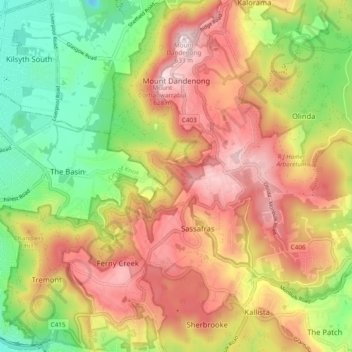
Name: Dandenong Ranges National Park - Ferntree Gully topographic map, elevation, terrain.
Average elevation: 345 m
Minimum elevation: 67 m
Maximum elevation: 621 m
Victoria trails, hiking, mountain biking, running and outdoor activities