
De Meern topographic map
Interactive map
Click on the map to display elevation.
About this map
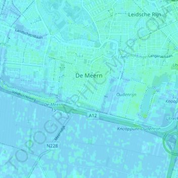
Name: De Meern topographic map, elevation, terrain.
Location: De Meern, Utrecht, Netherlands (52.06222 4.99372 52.09378 5.06126)
Average elevation: 1 m
Minimum elevation: -5 m
Maximum elevation: 9 m
Other topographic maps
Click on a map to view its topography, its elevation and its terrain.