
Timah Tasoh Dam topographic map
Interactive map
Click on the map to display elevation.
About this map
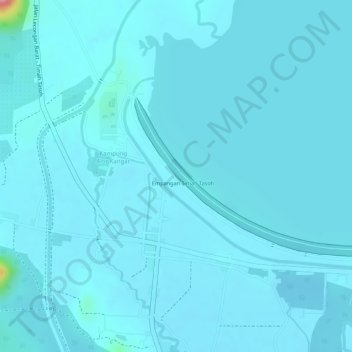
Name: Timah Tasoh Dam topographic map, elevation, terrain.
Location: Timah Tasoh Dam, Kangar, Perlis, Malaysia (6.56372 100.20598 6.57604 100.23332)
Average elevation: 27 m
Minimum elevation: 18 m
Maximum elevation: 136 m
Other topographic maps
Click on a map to view its topography, its elevation and its terrain.