
Roerdalen topographic map
Interactive map
Click on the map to display elevation.
About this map
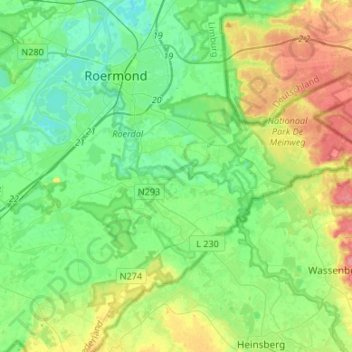
Name: Roerdalen topographic map, elevation, terrain.
Location: Roerdalen, Limburg, Netherlands (51.09653 5.91375 51.19441 6.18072)
Average elevation: 38 m
Minimum elevation: 12 m
Maximum elevation: 95 m