
Thora topographic map
Interactive map
Click on the map to display elevation.
About this map
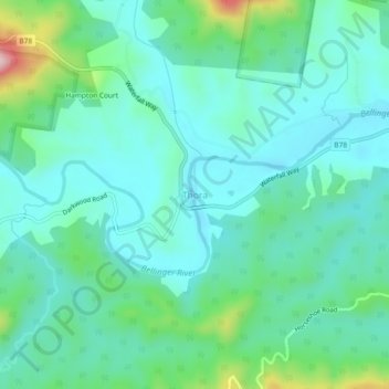
Name: Thora topographic map, elevation, terrain.
Location: Thora, Bellingen Shire Council, New South Wales, Australia (-30.44530 152.76008 -30.40530 152.80008)
Average elevation: 80 m
Minimum elevation: 17 m
Maximum elevation: 313 m
New South Wales trails, hiking, mountain biking, running and outdoor activities