
Highgate topographic map
Interactive map
Click on the map to display elevation.
About this map
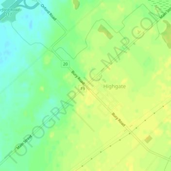
Name: Highgate topographic map, elevation, terrain.
Location: Highgate, Chatham-Kent, Ontario, Canada (42.49254 -81.82846 42.51254 -81.80846)
Average elevation: 218 m
Minimum elevation: 206 m
Maximum elevation: 226 m