
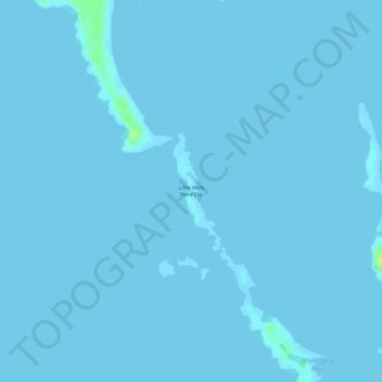
Little Halls Pond Cay topographic map
Interactive map
Click on the map to display elevation.
About this map
Name: Little Halls Pond Cay topographic map, elevation, terrain.
Location: Little Halls Pond Cay, Exuma, The Bahamas (24.33390 -76.57346 24.34230 -76.56973)
Average elevation: 0 m
Minimum elevation: 0 m
Maximum elevation: 15 m
Other topographic maps
Click on a map to view its topography, its elevation and its terrain.