
Clayton County topographic map
Interactive map
Click on the map to display elevation.
About this map
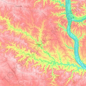
Name: Clayton County topographic map, elevation, terrain.
Location: Clayton County, Iowa, United States (42.64369 -91.60708 43.08171 -90.89598)
Average elevation: 304 m
Minimum elevation: 183 m
Maximum elevation: 387 m
Other topographic maps
Click on a map to view its topography, its elevation and its terrain.
Point Ann
United States > Iowa > Clayton County > McGregor
Point Ann, McGregor, Clayton County, Iowa, 52158, United States
Average elevation: 228 m