
Blind Creek topographic map
Interactive map
Click on the map to display elevation.
About this map
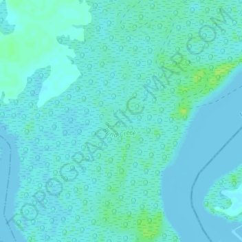
Name: Blind Creek topographic map, elevation, terrain.
Location: Blind Creek, Khana, Rivers, Nigeria (4.54379 7.51033 4.57999 7.52533)
Average elevation: 3 m
Minimum elevation: -2 m
Maximum elevation: 12 m
Other topographic maps
Click on a map to view its topography, its elevation and its terrain.