
Aramara topographic map
Interactive map
Click on the map to display elevation.
About this map
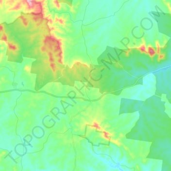
Name: Aramara topographic map, elevation, terrain.
Location: Aramara, Fraser Coast Regional, Queensland, Australia (-25.65623 152.27719 -25.54510 152.41846)
Average elevation: 123 m
Minimum elevation: 65 m
Maximum elevation: 299 m