
Howden topographic map
Interactive map
Click on the map to display elevation.
About this map
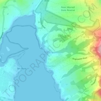
Name: Howden topographic map, elevation, terrain.
Location: Howden, Hobart, Kingborough, Tasmania, Australia (-43.03695 147.27794 -43.00502 147.31986)
Average elevation: 36 m
Minimum elevation: -1 m
Maximum elevation: 183 m
Tasmania trails, hiking, mountain biking, running and outdoor activities
Other topographic maps
Click on a map to view its topography, its elevation and its terrain.