
Anderson topographic map
Interactive map
Click on the map to display elevation.
About this map
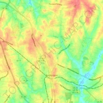
Name: Anderson topographic map, elevation, terrain.
Location: Anderson, Anderson County, South Carolina, United States (34.48635 -82.68791 34.56241 -82.60049)
Average elevation: 232 m
Minimum elevation: 196 m
Maximum elevation: 267 m