
Fort Pierce topographic map
Interactive map
Click on the map to display elevation.
About this map
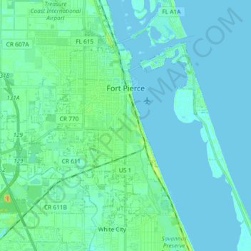
Name: Fort Pierce topographic map, elevation, terrain.
Location: Fort Pierce, St. Lucie County, Florida, United States (27.37330 -80.42376 27.48131 -80.27738)
Average elevation: 5 m
Minimum elevation: -3 m
Maximum elevation: 28 m