
Ruatoki topographic map
Interactive map
Click on the map to display elevation.
About this map
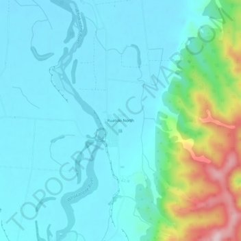
Name: Ruatoki topographic map, elevation, terrain.
Location: Ruatoki, Whakatane District, Bay of Plenty, New Zealand (-38.15761 176.98670 -38.11761 177.02670)
Average elevation: 75 m
Minimum elevation: 20 m
Maximum elevation: 314 m