
Manhattan topographic map
Interactive map
Click on the map to display elevation.
About this map
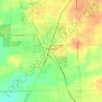
Name: Manhattan topographic map, elevation, terrain.
Location: Manhattan, Will County, Illinois, 60442, United States (41.38793 -88.02034 41.45443 -87.94108)
Average elevation: 207 m
Minimum elevation: 188 m
Maximum elevation: 223 m