
Channahon topographic map
Interactive map
Click on the map to display elevation.
About this map
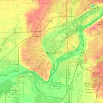
Name: Channahon topographic map, elevation, terrain.
Location: Channahon, Will County, Illinois, United States (41.37645 -88.38716 41.48654 -88.17191)
Average elevation: 171 m
Minimum elevation: 132 m
Maximum elevation: 211 m