
Prestonville topographic map
Interactive map
Click on the map to display elevation.
About this map
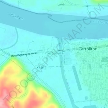
Name: Prestonville topographic map, elevation, terrain.
Location: Prestonville, Carroll County, Kentucky, United States (38.67532 -85.20457 38.68378 -85.18770)
Average elevation: 151 m
Minimum elevation: 129 m
Maximum elevation: 254 m