
Mulga topographic map
Interactive map
Click on the map to display elevation.
About this map
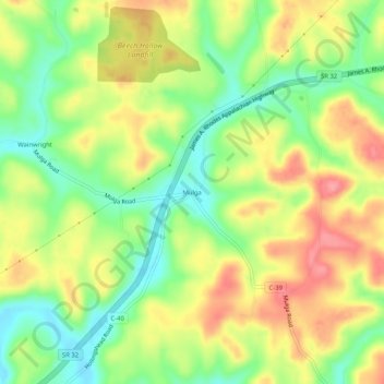
Name: Mulga topographic map, elevation, terrain.
Location: Mulga, Jackson County, Ohio, United States (39.09730 -82.48849 39.13730 -82.44849)
Average elevation: 246 m
Minimum elevation: 199 m
Maximum elevation: 297 m