
Paton topographic map
Interactive map
Click on the map to display elevation.
About this map
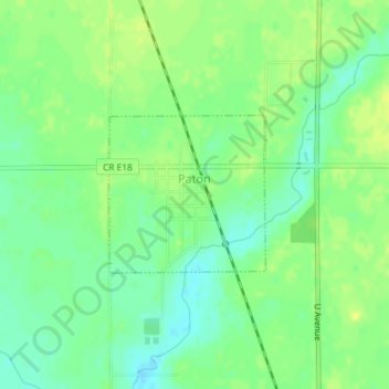
Name: Paton topographic map, elevation, terrain.
Location: Paton, Greene County, Iowa, United States (42.15881 -94.26237 42.16976 -94.24765)
Average elevation: 336 m
Minimum elevation: 326 m
Maximum elevation: 344 m