
Mont Belvieu topographic map
Interactive map
Click on the map to display elevation.
About this map
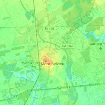
Name: Mont Belvieu topographic map, elevation, terrain.
Location: Mont Belvieu, Chambers County, Texas, United States (29.82150 -94.93486 29.89653 -94.81169)
Average elevation: 12 m
Minimum elevation: 2 m
Maximum elevation: 26 m