
San Jacinto County topographic map
Interactive map
Click on the map to display elevation.
About this map
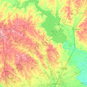
Name: San Jacinto County topographic map, elevation, terrain.
Location: San Jacinto County, Texas, United States (30.31947 -95.35909 30.90658 -94.83100)
Average elevation: 69 m
Minimum elevation: 13 m
Maximum elevation: 145 m