
Marysville topographic map
Interactive map
Click on the map to display elevation.
About this map
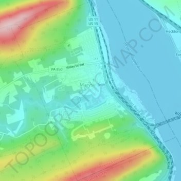
Name: Marysville topographic map, elevation, terrain.
Location: Marysville, Perry County, Pennsylvania, United States (40.32136 -76.95210 40.35460 -76.91497)
Average elevation: 166 m
Minimum elevation: 92 m
Maximum elevation: 379 m