
Wartrace topographic map
Interactive map
Click on the map to display elevation.
About this map
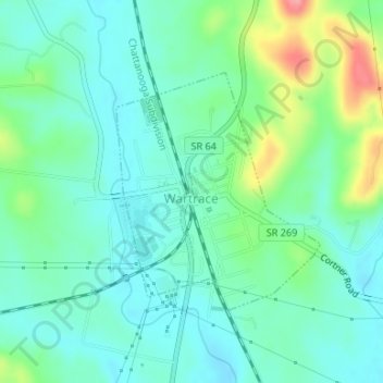
Name: Wartrace topographic map, elevation, terrain.
Location: Wartrace, Bedford County, Tennessee, United States (35.51967 -86.34016 35.53647 -86.32242)
Average elevation: 261 m
Minimum elevation: 235 m
Maximum elevation: 334 m