
Brushy Creek topographic map
Interactive map
Click on the map to display elevation.
About this map
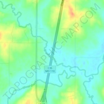
Name: Brushy Creek topographic map, elevation, terrain.
Location: Brushy Creek, Clinton County, Missouri, 64429, United States (39.67768 -94.23766 39.68579 -94.22582)
Average elevation: 274 m
Minimum elevation: 260 m
Maximum elevation: 302 m