
Leesport topographic map
Interactive map
Click on the map to display elevation.
About this map
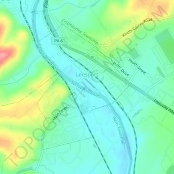
Name: Leesport topographic map, elevation, terrain.
Location: Leesport, Berks County, Pennsylvania, United States (40.43528 -75.97661 40.45480 -75.95746)
Average elevation: 106 m
Minimum elevation: 79 m
Maximum elevation: 173 m