
Eau Claire topographic map
Interactive map
Click on the map to display elevation.
About this map
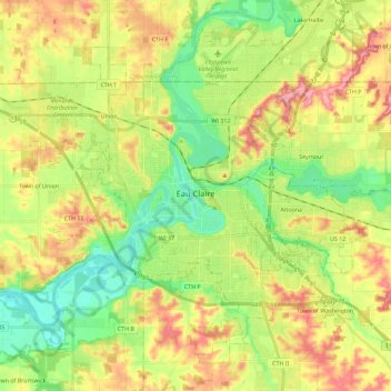
Name: Eau Claire topographic map, elevation, terrain.
Location: Eau Claire, Eau Claire County, Wisconsin, United States (44.75641 -91.59482 44.87921 -91.36788)
Average elevation: 274 m
Minimum elevation: 225 m
Maximum elevation: 340 m