
Flagstaff Hill topographic map
Interactive map
Click on the map to display elevation.
About this map
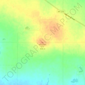
Name: Flagstaff Hill topographic map, elevation, terrain.
Location: Flagstaff Hill, Hill County, Montana, United States (48.66856 -109.84303 48.66866 -109.84293)
Average elevation: 881 m
Minimum elevation: 862 m
Maximum elevation: 899 m
Other topographic maps
Click on a map to view its topography, its elevation and its terrain.
Herron
United States > Montana > Hill County > Herron
Herron, Hill County, Montana, United States
Average elevation: 790 m