
West End topographic map
Interactive map
Click on the map to display elevation.
About this map
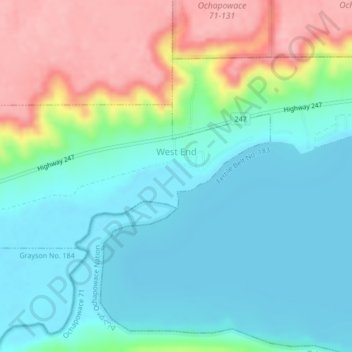
Name: West End topographic map, elevation, terrain.
Location: West End, Saskatchewan, Canada (50.54223 -102.44184 50.55326 -102.40716)
Average elevation: 481 m
Minimum elevation: 439 m
Maximum elevation: 573 m