
Khabtah topographic map
Interactive map
Click on the map to display elevation.
About this map
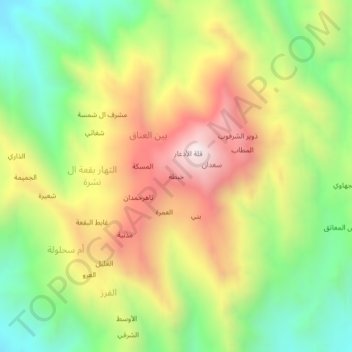
Name: Khabtah topographic map, elevation, terrain.
Location: Khabtah, Bayn al `Anaq, Shada'a district, Yemen (16.88934 43.16394 16.92934 43.20394)
Average elevation: 812 m
Minimum elevation: 351 m
Maximum elevation: 1,360 m